A -Z Adventure Series - South West Coast Path 3 – South Cornwall: with Ordnance Survey mapping (Fifth edition)
Plan your next adventure along the South Cornwall section of the South West Coast Path with trusted mapping from A-Z
The perfect companion for those wanting to explore the iconic route as seen in The Salt Path, the A-Z Adventure Series features 1:25 000 Ordnance Survey mapping in a convenient book, complete with index.
The South West Coast Path is a National Trail along the Somerset, Devon, Cornwall and Dorset coasts. This stunning walk from Minehead, Somerset covers 630 miles to South Haven Point in Poole Harbour, passing through two World Heritage Sites (the Jurassic Coast and the Cornwall and West Devon Mining Landscape), Exmoor National Park, Land's End and many areas of outstanding natural beauty.
A series of five A-Z Adventure Atlases together cover the South West Coast Path:
- South West Coast Path: North Devon and Somerset (9780008707651)
- South West Coast Path: North Cornwall (9780008707620)
- South West Coast Path: South Cornwall (9780008707637)
- South West Coast Path: South Devon (9780008707644)
- South West Coast Path: Dorset (9780008707668)
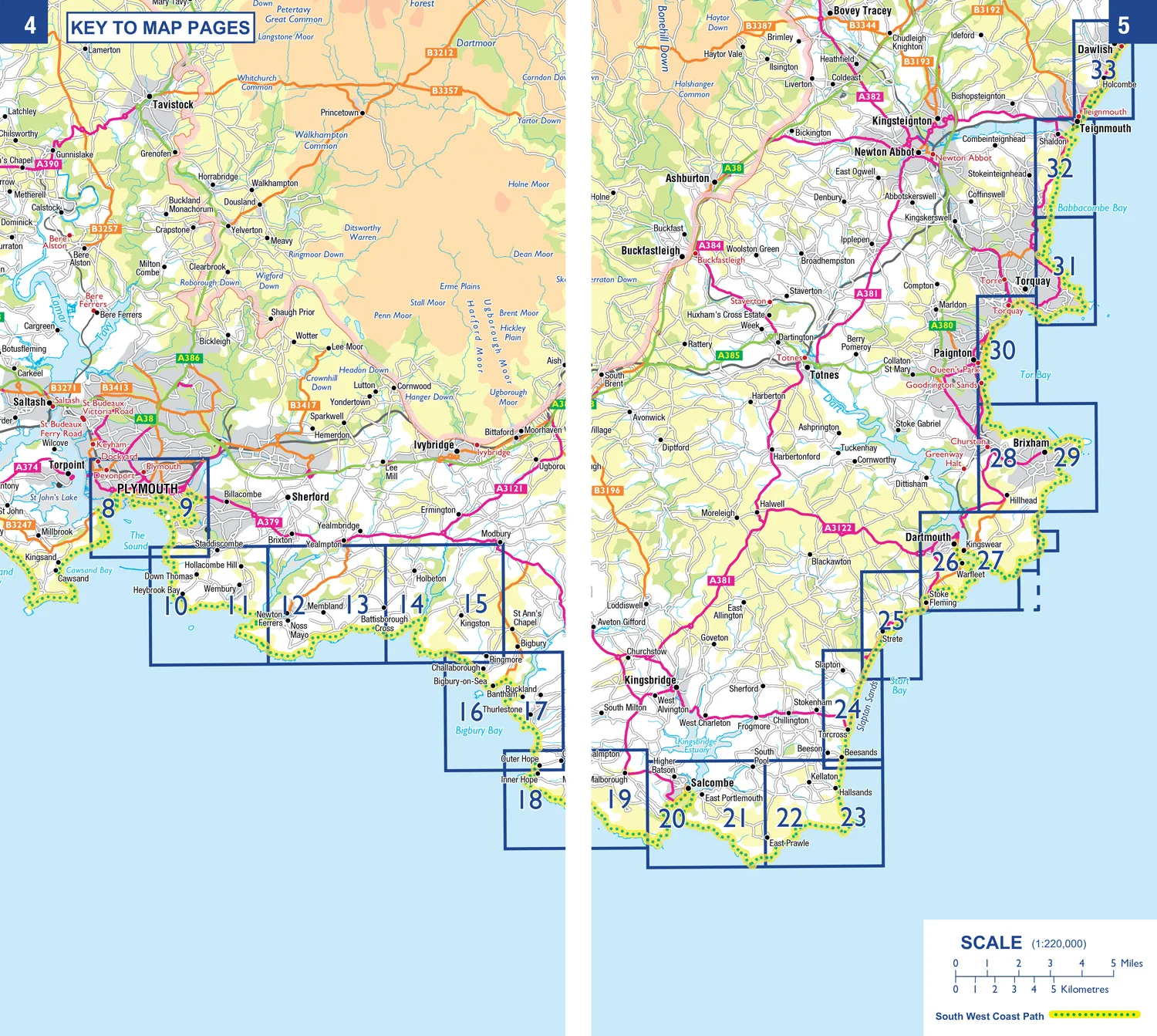
This A-Z Adventure Atlas of the South West Coast Path: South Cornwall features 50 pages of continuous Ordnance Survey mapping covering the route from Land's End to Plymouth. The trail is easy to follow, highlighted in yellow to stand out from other footpaths, with mileage markers to gauge distances when planning your own sections of the walk to enjoy.
The book includes a route planner showing distances between places and indicates available amenities, including:
- Information Centres
- Visitor Centres
- Hotels/B&Bs
- Youth Hostels
- Campsites (seasonal opening)
- Public Houses
- Shops
- Restaurants
- Cafes (seasonal opening)
- Petrol stations
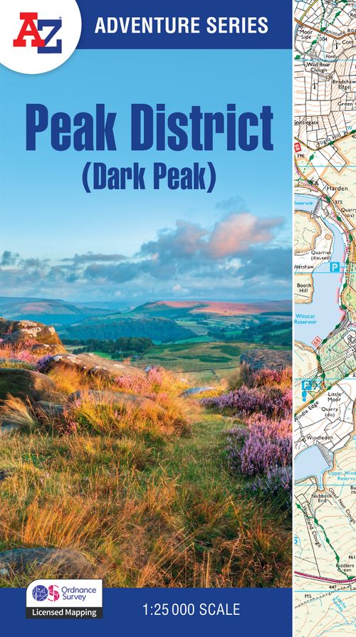
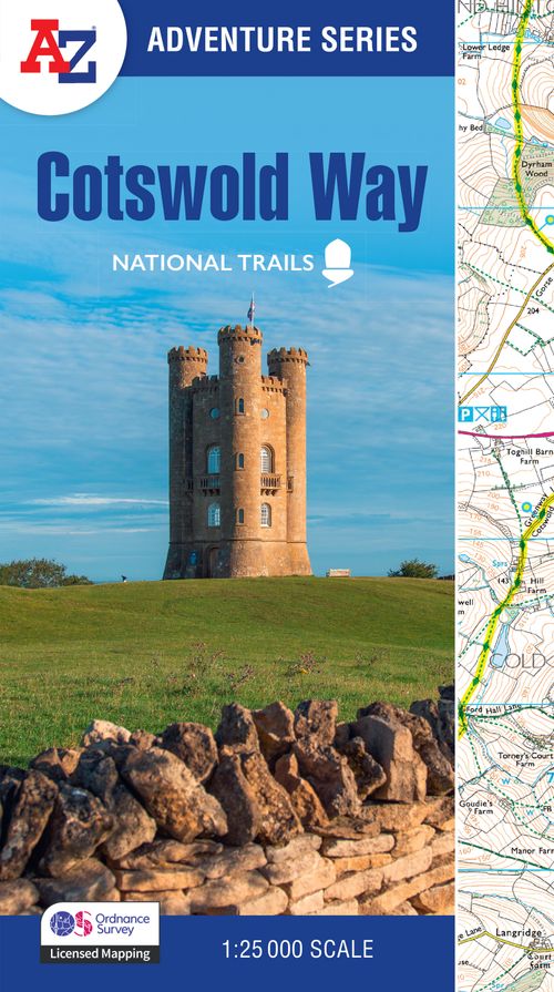
Other National Trails available within the A-Z Adventure Series include: Peak District (Dark Peak), Cotswold Way, Peddars Way and Norfolk Coast Path, Pembrokeshire Coast Path, North Coast 500 and South Downs Way.
Plan your next adventure along the South Cornwall section of the South West Coast Path with trusted mapping from A-Z
The perfect companion for those wanting to explore the iconic route as seen in The Salt Path, the A-Z Adventure Series features 1:25 000 Ordnance Survey mapping in a convenient book, complete with index.
The South West Coast Path is a National Trail along the Somerset, Devon, Cornwall and Dorset coasts. This stunning walk from Minehead, Somerset covers 630 miles to South Haven Point in Poole Harbour, passing through two World Heritage Sites (the Jurassic Coast and the Cornwall and West Devon Mining Landscape), Exmoor National Park, Land's End and many areas of outstanding natural beauty.
A series of five A-Z Adventure Atlases together cover the South West Coast Path:
- South West Coast Path: North Devon and Somerset (9780008707651)
- South West Coast Path: North Cornwall (9780008707620)
- South West Coast Path: South Cornwall (9780008707637)
- South West Coast Path: South Devon (9780008707644)
- South West Coast Path: Dorset (9780008707668)
This A-Z Adventure Atlas of the South West Coast Path: South Cornwall features 50 pages of continuous Ordnance Survey mapping covering the route from Land's End to Plymouth. The trail is easy to follow, highlighted in yellow to stand out from other footpaths, with mileage markers to gauge distances when planning your own sections of the walk to enjoy.
The book includes a route planner showing distances between places and indicates available amenities, including:
- Information Centres
- Visitor Centres
- Hotels/B&Bs
- Youth Hostels
- Campsites (seasonal opening)
- Public Houses
- Shops
- Restaurants
- Cafes (seasonal opening)
- Petrol stations
Other National Trails available within the A-Z Adventure Series include: Peak District (Dark Peak), Cotswold Way, Peddars Way and Norfolk Coast Path, Pembrokeshire Coast Path, North Coast 500 and South Downs Way.
Description
Plan your next adventure along the South Cornwall section of the South West Coast Path with trusted mapping from A-Z
The perfect companion for those wanting to explore the iconic route as seen in The Salt Path, the A-Z Adventure Series features 1:25 000 Ordnance Survey mapping in a convenient book, complete with index.
The South West Coast Path is a National Trail along the Somerset, Devon, Cornwall and Dorset coasts. This stunning walk from Minehead, Somerset covers 630 miles to South Haven Point in Poole Harbour, passing through two World Heritage Sites (the Jurassic Coast and the Cornwall and West Devon Mining Landscape), Exmoor National Park, Land's End and many areas of outstanding natural beauty.
A series of five A-Z Adventure Atlases together cover the South West Coast Path:
- South West Coast Path: North Devon and Somerset (9780008707651)
- South West Coast Path: North Cornwall (9780008707620)
- South West Coast Path: South Cornwall (9780008707637)
- South West Coast Path: South Devon (9780008707644)
- South West Coast Path: Dorset (9780008707668)
This A-Z Adventure Atlas of the South West Coast Path: South Cornwall features 50 pages of continuous Ordnance Survey mapping covering the route from Land's End to Plymouth. The trail is easy to follow, highlighted in yellow to stand out from other footpaths, with mileage markers to gauge distances when planning your own sections of the walk to enjoy.
The book includes a route planner showing distances between places and indicates available amenities, including:
- Information Centres
- Visitor Centres
- Hotels/B&Bs
- Youth Hostels
- Campsites (seasonal opening)
- Public Houses
- Shops
- Restaurants
- Cafes (seasonal opening)
- Petrol stations
Other National Trails available within the A-Z Adventure Series include: Peak District (Dark Peak), Cotswold Way, Peddars Way and Norfolk Coast Path, Pembrokeshire Coast Path, North Coast 500 and South Downs Way.